

Severe storms with hail and damaging winds forecast for seven provinces on Saturday, while three face extreme fire danger
The South African Weather Service has issued a yellow level 2 warning for severe thunderstorms on Saturday afternoon over parts of the Free State, North West, KwaZulu-Natal, Gauteng, Mpumalanga, Limpopo and the Eastern Cape. Extremely high fire danger is expected in parts of the Northern Cape, Western Cape and Eastern Cape.
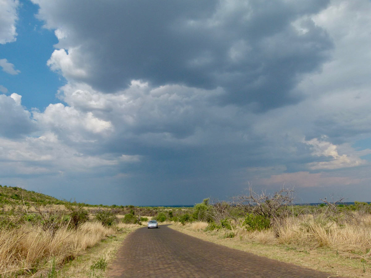
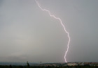
Large parts of the country should prepare for severe thunderstorms on Saturday afternoon, 21 November, with the South African Weather Service (SAWS) warning of heavy downpours, damaging winds, hail and excessive lightning.
Where the storm warning applies
SAWS has issued a yellow level 2 impact-based warning for severe thunderstorms over:
- the Free State, except the south-west;
- the central parts of North West;
- KwaZulu-Natal, except the north-east;
- the southern parts of Gauteng;
- most of Mpumalanga, except the north-west and far north-east;
- central and south-eastern Limpopo; and
- the eastern parts of the Eastern Cape.
The weather service said the storms could cause localised flooding of roads, low-lying areas and bridges that flood easily. Town-level warnings published on Saturday morning run from midday to late evening and include towns such as Mthatha, Port St Johns, Lusikisiki and Bizana in the Eastern Cape, and Ladysmith and Estcourt in KwaZulu-Natal. Possible impacts listed include damage to homes and temporary structures, power and communication outages and loss of livestock and crops.
Fire danger and heat
Extremely high fire danger is expected over the central and eastern parts of the Northern Cape, the north-eastern parts of the Western Cape, and parts of the central and northern Eastern Cape. The weather service also warned of hot, humid and very uncomfortable conditions in the eastern parts of KwaZulu-Natal.
City forecasts
According to the SAWS forecast issued early on Saturday, Johannesburg can expect a minimum of 15°C and a maximum of 28°C with isolated afternoon thundershowers, and Pretoria 18°C to 30°C. Durban will see scattered afternoon showers and thundershowers with a high of 29°C. Bloemfontein is forecast to reach 31°C and Polokwane 32°C. Upington will be fine and hot at 35°C. Cape Town will be mostly fine at 23°C, while a fresh to strong south-westerly wind is expected in Gqeberha.
What to do
Motorists should not drive through flooded roads or low-water bridges, and people should stay indoors during lightning and avoid sheltering under trees. Outdoor events, braais and sports fixtures this afternoon may be affected. In fire-risk areas, people should not burn rubbish or start open fires.
In Johannesburg, the storms arrive on the first day of the city’s stricter water restrictions, which ban garden watering at any time.
Related: Joburg’s level 2 water rules start on Saturday; Friday’s severe thunderstorm warning
Sources
What's Your Reaction?
 Like
0
 Dislike
0
 Love
0
 Funny
0
 Wow
0
 Sad
0
 Angry
0

The Republic Times newsroom: independent, ad-free South African journalism. Story tips and corrections: info@republictimes.co.za.






Comments (0)